Thursday, December 21, 2017

Somme Defensive map, WWI, 6th Engineers of the 3d Division (AEF)

Somme Defensive map, WWI, 6th Engineers of the 3d Division (AEF) make a stand east of Amiens to help thwart the German Spring Offensive of 1918, the last high point of the German Empire on the Western Front in WWI.
Somme Defensive map, WWI, 6th Engineers of the 3d Division (AEF) by erikthehistorian (erik villard)


Somme Defensive map, WWI, 6th Engineers of the 3d Division (AEF) by erikthehistorian (erik villard)

Somme Defensive map, WWI, 6th Engineers of the 3d Division (AEF) by erikthehistorian (erik villard)

Saturday, December 2, 2017

AEF Supply Maps World War I

AEF Supply Area map from the National Archives, superimposed on Google Earth. These AEF maps will require some geo-rectification and some TLC- this is a quick and dirty PS + overlay. Tons of great maps from NARA coming soon!

Trench maps of the Vilcey-sur-Trey area, 20 miles east of St. Mihel, late summer 1918. NARA has thousands of maps used by the AEF in WWI, including many French, British, and German maps. Unless I'm mistaken, very few of these maps have ever been digitized and made widely available to the public. It'll be tricky- most are VERY large- but I'll figure something out.

Saturday, July 1, 2017

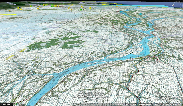
After a long hiatus, I am resuming my entires on this blogspot!! Here are some screenshots of my Google Earth map system for South Vietnam showing the upper Mekong Delta.


Thursday, August 18, 2016

BOQ#3 battle in Saigon, Tet 68

Photos of the battle outside of the BOQ3# building during the Tet Offensive in Saigon, 31 Jan 68. Map and photo collage by Erik B. Villard.

Saturday, June 14, 2014